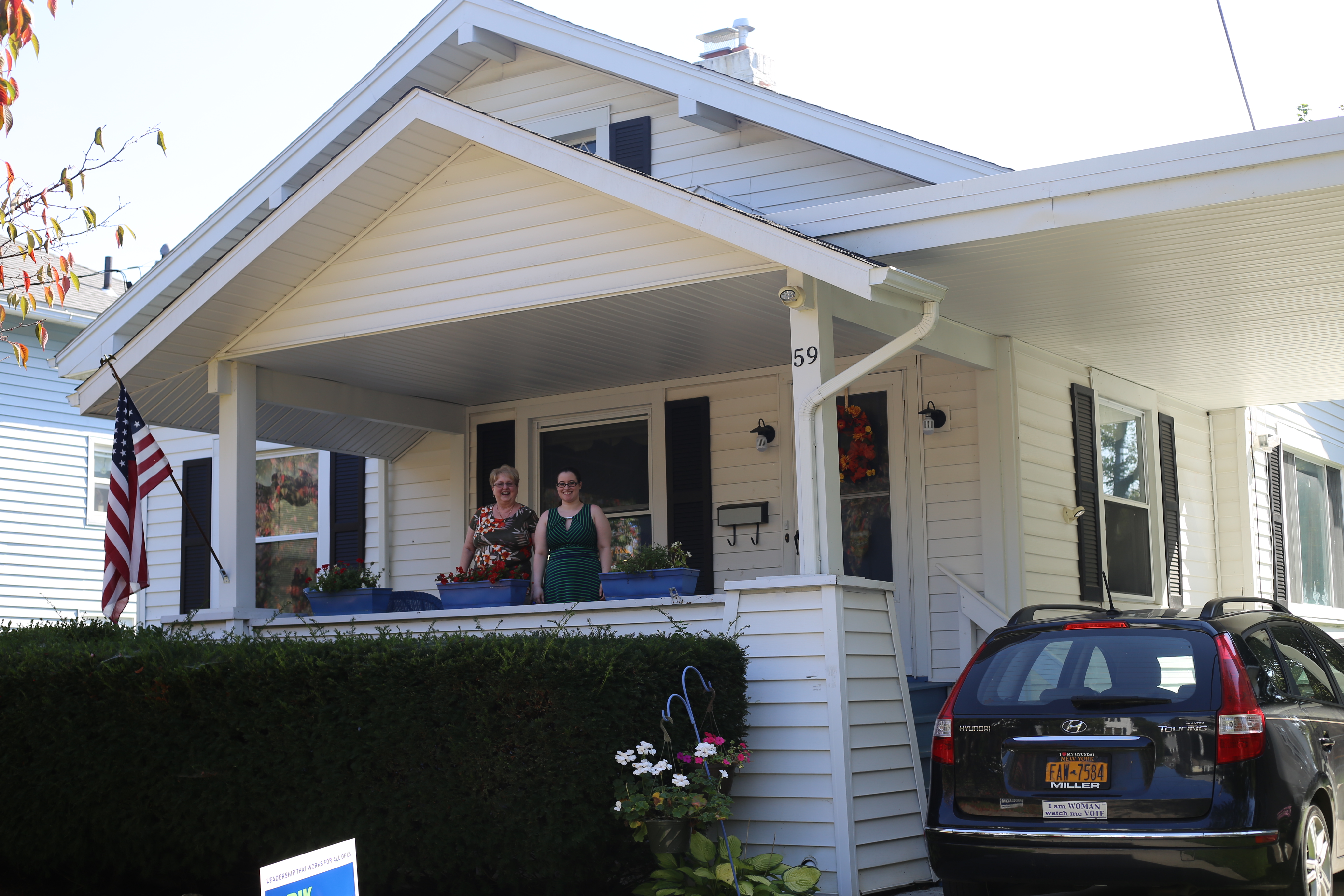
C arol Grippen remembers watching the water creep toward her house as she backed away in her year-old black Hyundai Elantra.
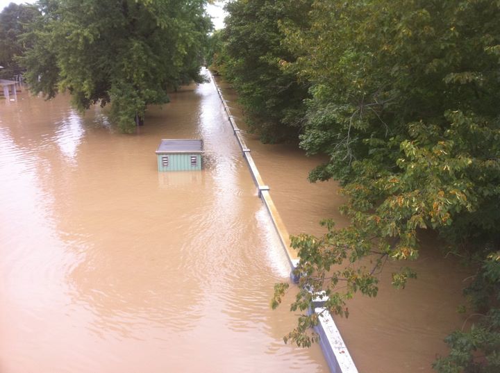
She recalls the smell, a combination of mold and rotten fish, that lingered in her nostrils for weeks after floodwaters seeped into her two-story house on Laurel Avenue in Binghamton.
She remembers thumbing through waterlogged mementos from her 34 years as a first-grade teacher ― class pictures, student projects, letters from parents ― and her reluctance to discard them.
When Grippen, 73, saw the devastation caused by recent hurricanes, the memories came rushing back, just like the water had into her home that warm Wednesday in September 2011.
And in 2006. And 2005. The flooding of 2011 was the third time in seven years that water from the Susquehanna River rose above the city’s levees, crawled toward her home and ensured a long recovery.
Time Lapse
Last month marked six years since southern Broome County was inundated by the worst flooding to date. Since the remnants of Tropical Storm Lee caused 24,000 people to evacuate and levied $502.8 million in property damage. Since Gov. Andrew Cuomo helicoptered over the rust-colored floodwaters, declaring a state of emergency that lasted over a week.
It’s been more than 30 years since the Federal Emergency Management Agency (FEMA) flood maps for Broome County have been updated.

New Maps = A Safer Public
“New Maps = A Safer Public.” That was the message printed in bold type on flyers distributed to Broome County residents in April 2010. FEMA and the New York State Department of Environmental Conservation held four public open houses outlining the county’s new flood maps, encouraging residents to become familiar with them before their adoption.
“By showing the extent to which areas are at risk for flooding, the new flood maps will help home and business owners understand their current risk and make informed decisions about protecting their property,” the flyer read.
After the flood of 2006, FEMA began to redraw the maps, which determine hazard levels for properties based on location. The primary area of concern is the special flood hazard area, where properties are at a 1 percent annual flood risk and homeowners are required to purchase flood insurance if their mortgages are federally backed.
The new maps identified 12 sections of Broome County’s levee system that failed to meet FEMA flood-protection requirements. The city of Binghamton, villages of Endicott and Johnson City and towns of Vestal and Union were most widely affected by the finding. Broome County’s original maps include 1,955 properties within the special flood hazard area. That figure nearly tripled to 5,606 under the preliminary maps released in 2010.
Scrap the maps
Shortly after the maps first went public, Sen. Chuck Schumer and former Rep. Maurice Hinchey (D-NY) penned a letter to former FEMA Director Craig Fugate, asking for them to be put on hold. They were, and the following year, the remnants of Tropical Storm Lee threw southern Broome County into another state of emergency.
Schumer and Hinchey, along with local officials and their constituents, took issue with the binary way that flood risk and insurance premiums had been determined.
“In the old process, called the no-levee approach, they said, ‘We’re going to imagine there is no levee whatsoever,’” said Frank Evangelisti, Broome County director of planning.
The shelving of the maps was surprising, Evangelisti said, because they’d been so close to effective status.
“It was a very unusual circumstance because we do have a lot of levees and floodwalls in Broome County — it’s a big part of our landscape,” he said.
The pushback was part of a national trend of communities that believed the flood-risk maps were unnecessarily strict and put an unfair burden on homeowners.
“Communities across the country were concerned that the process of drawing the flood maps in those areas was not accurate,” Evangelisti said. “FEMA then took a step back and withdrew flood maps nationwide. Anybody that was in the process of getting new flood maps across the country got put on hold.”
Following Hurricane Sandy in 2012, FEMA redrew the maps for New York City, almost doubling the number of properties in the highest-risk zone. The city disputed these findings, hiring a consulting firm that came up with a narrower zone.
The typical time frame for a map to go from starting point to effective is around five years, according to J. Andrew Martin, chief of FEMA’s Region II risk analysis branch. Broome County’s have been in the works for twice as long.
“I feel like we are not providing a good level of customer service to property owners in Broome County by not providing this information in a way that they can make decisions based on it,” Martin said in a recent interview.
‘I thought it’d never happen again’
The terms often used to describe majors floods ― “100-year flood” and “500-year flood” ― can be misleading. Many homeowners believe 100-year floods will happen just once a century. That’s just not right, according to those well-versed in flood risk, and leads to risk not being taken as seriously as it should.
“In 2006, everyone kept saying, ‘Oh my god, this is a 500-year flood; you’ll never get flooded again,” Grippen said. “I thought it’d never happen again in my lifetime.”
Federal and local officials have stopped using these terms, instead referring to severe flooding events as 1 percent annual-chance floods.
“That means in any given year, there’s a one in 100 chance there will be a flood,” Martin said. “And a 500-year flood means that in any given year, there’s a one in 500 chance there will be a flood.”
Over the course of a 30-year mortgage, there’s a 26 percent chance of a flood occurring, compared to a 5 percent chance of fire. But that fact hasn’t translated to a widespread demand for flood insurance.
“If I told the average New Yorker there’s a one in 100 chance that they’d win the Powerball, they’d be going in droves to buy tickets,” said Jim Rollo, a State Farm insurance agent in the Binghamton area who sells flood insurance.


